(RE)ANIMATING THE OIKOS: TELL BILLA’S DOMESTIC SPACE IN 3D
Abstract
Near Eastern archaeologists often explore the recursive relationship between past peoples and their built environments through analyses that rely on considerations of the size and shape of buildings. The working assumption is that changes in a structure’s size and shape across space and through time reveal the shifting social interests of their inhabitants. As a result, building plans in 2D have long dominated articles and book-length studies about the archaeology of the Near East, with preference given to discussions on architectural symmetry and scale. This paper argues that an interpretation of the built environment based on these parameters alone is too simplistic; in fact, it replaces the old adage about attributing pots and people with buildings and people. Ethnographic analogy demonstrates that space in traditional Middle Eastern communities is not perceived or utilized in any absolute sense, but instead works through networks of familiarity, such as neighborhoods and households based on kinship ties. Thus, 3D computer modeling and animation offer a novel approach for ground-level (as opposed top-down) phenomenological studies. Such models can better capture the lived experience of people in the past, based on their dynamic movement through and active role in these spatially oriented networks. As a result, this paper describes a 3D model that was developed to visualize people and their movement through the Neo-Assyrian rural center of Tell Billa in the 1st millennium BCE.
Images
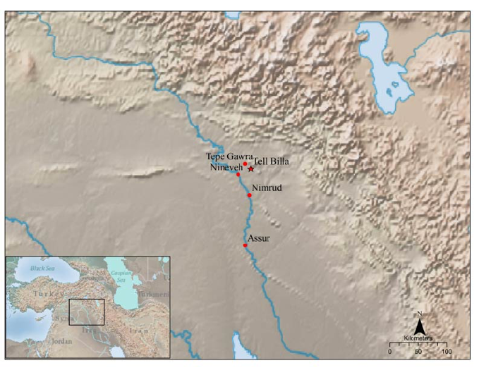
Figure 1: Regional Map with Tell Billa and Major Sites
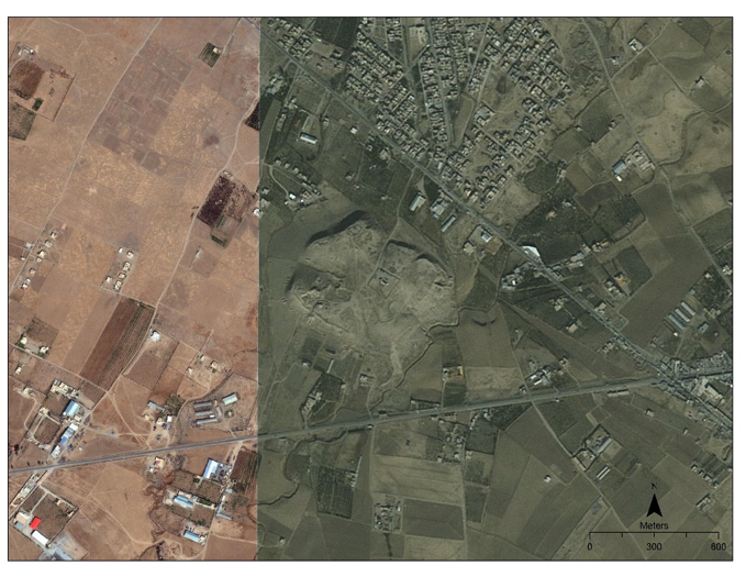
Figure 2: Modern Bing Image of Tell Billa with Visible Military Fortifications and Encroachment
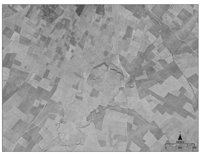
Figure 3: 1968 Corona Image of Tell Billa
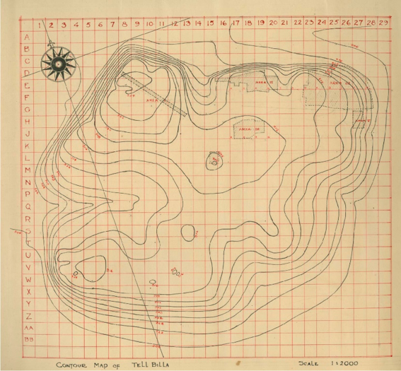
Figure 4: Topographic Map of Tell Billa with Excavation Squares
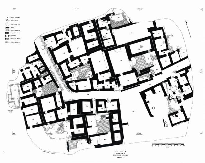
Figure 5: Level IA (Neo-Assyrian) Plan of Tell Billa’s Residential Quarter
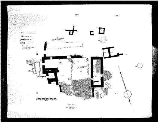
Figure 6: Level 1 (undated) Plan of Tell Billa’s Residential Quarter
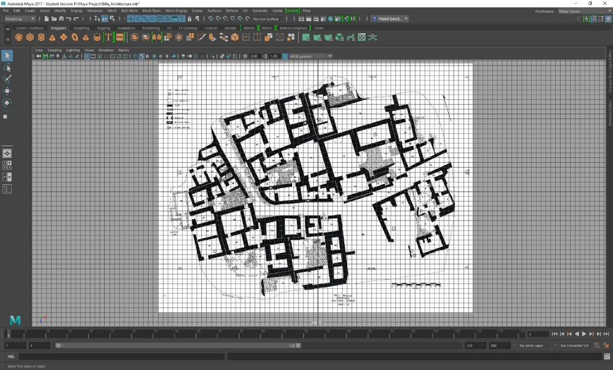
Figure 7: Metric-based Grid Creation
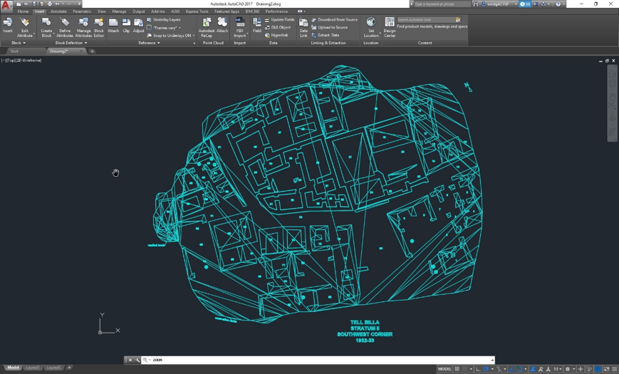
Figure 8: Level IA Trace in AutoCAD
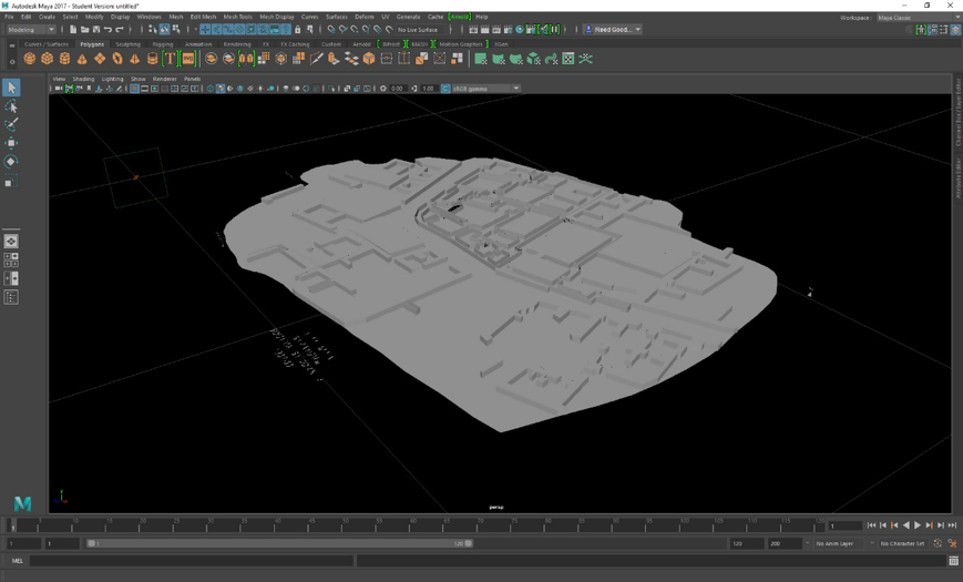
Figure 9: Over- and Under- Interpolated Surfaces after File Transfer from AutoCAD to Maya
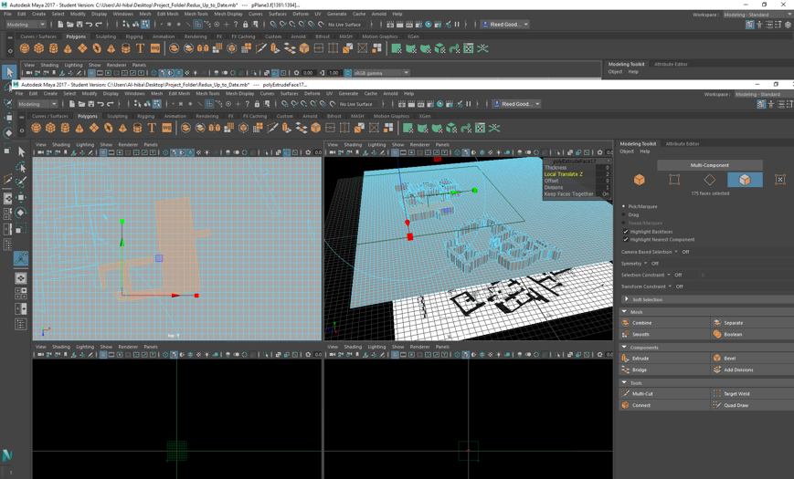
Figure 10: Single Polygonal Mesh with Early Divisions and Results
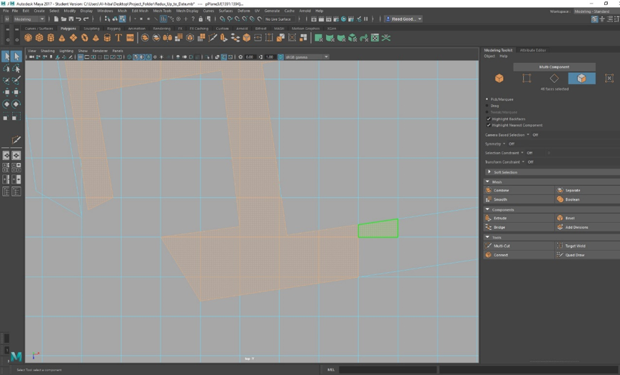
Figure 11: Multi-Cut Tool to Trace out and Cut Polygons
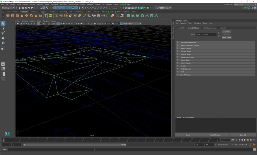
Figure 12: Wire-Frame Surface in Maya
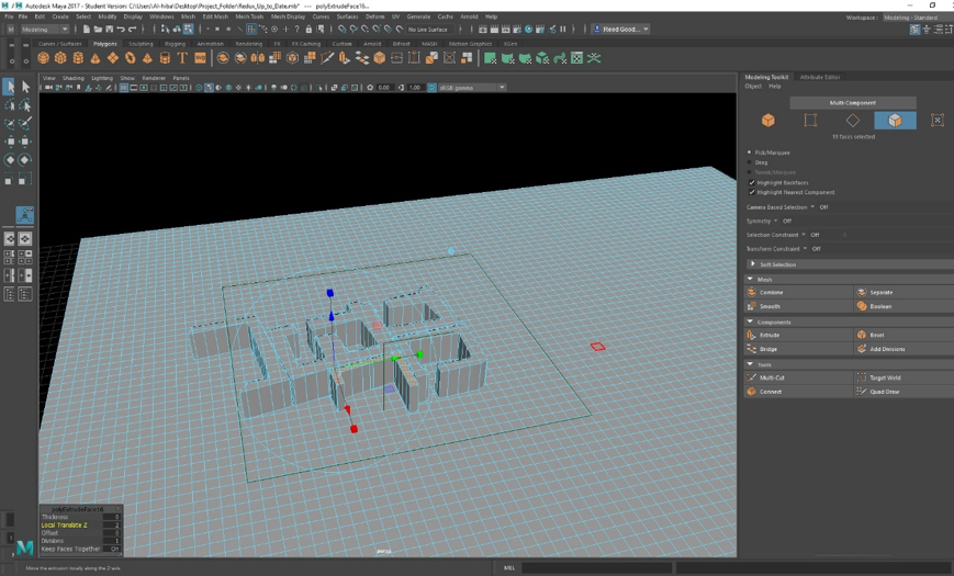
Figure 13: Modeling Toolkit Panel in Maya with Local Translation of Z Axis
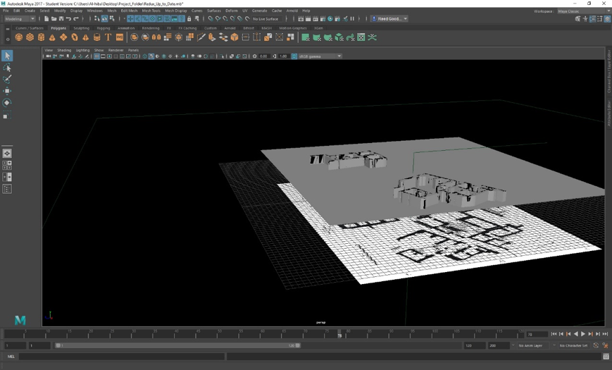
Figure 14: Early Wall Extrusion Results in Maya
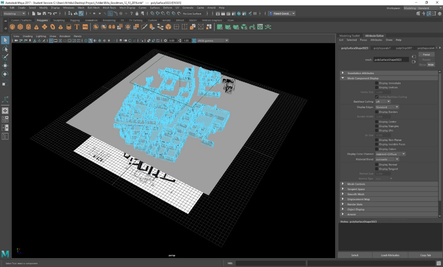
Figure 15: Completed Walls and Underlying Base Mesh
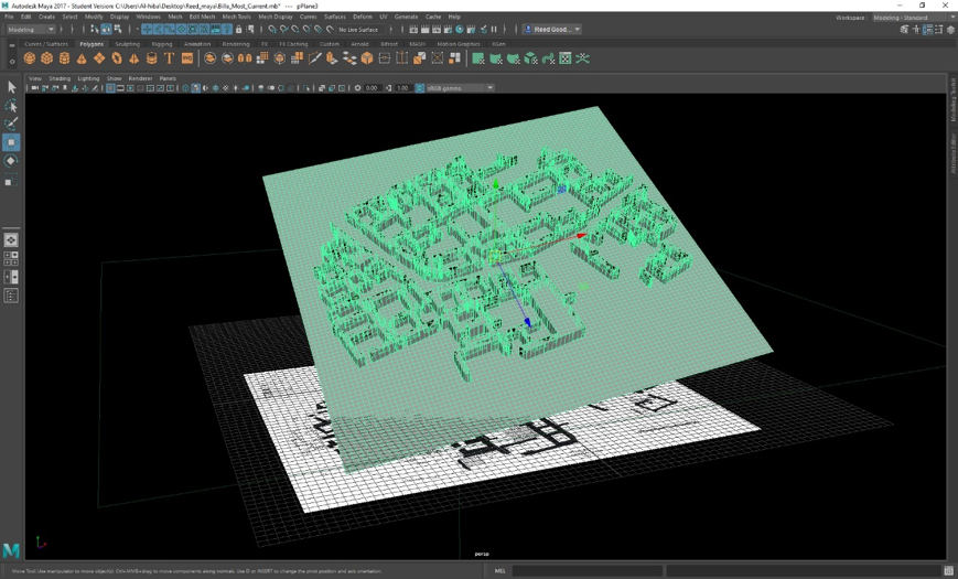
Figure 16: Entire Mesh Remains a Single Group of Polygonal Faces, Line Edges and Point Vertices
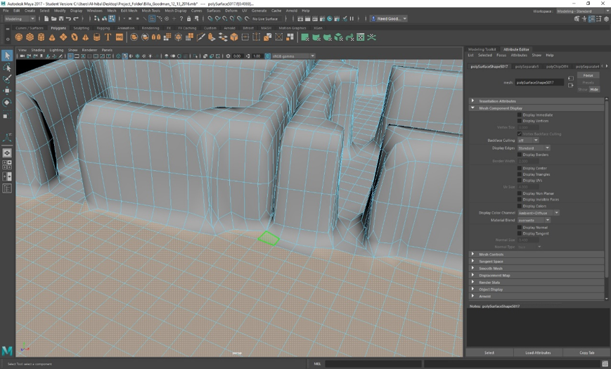
Figure 17: Separating Wall from Floor Mesh with Attribute Editor
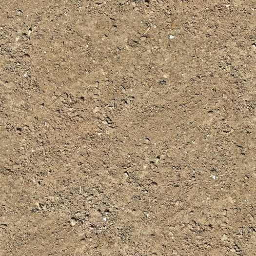
Figure 18: Google Image Uploaded to Maya for Ground Texture
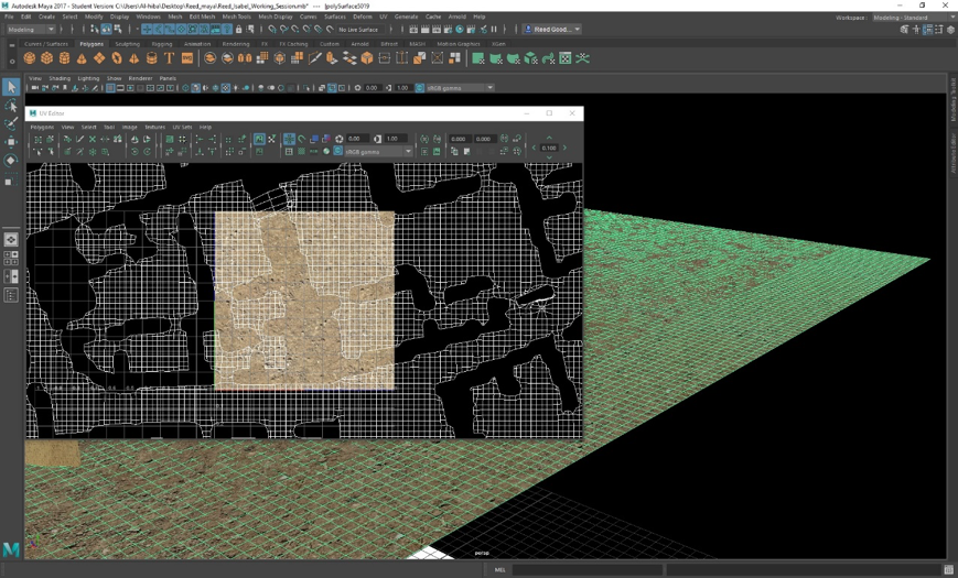
Figure 19: Selection of UV Shells for Rescaling in UV Editor
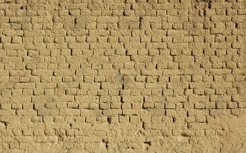
Figure 20: Google Image Uploaded to Maya for Wall Texture
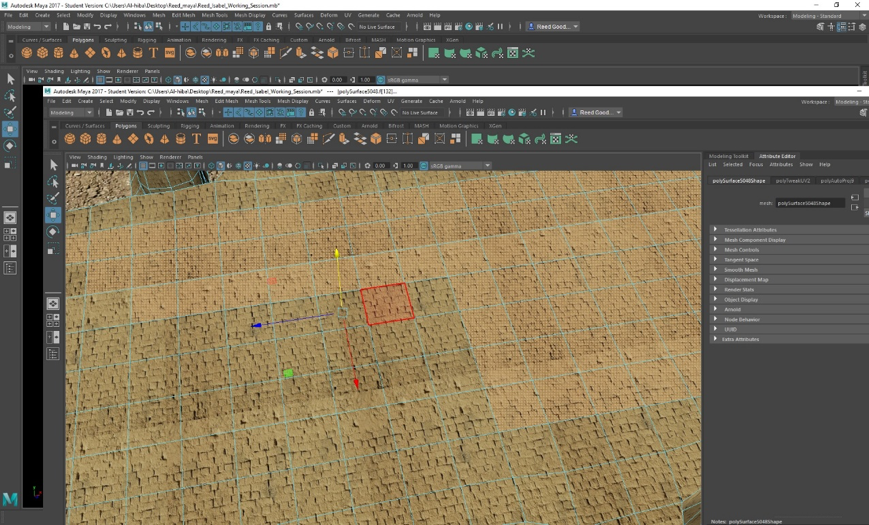
Figure 21: Face Selection for Conversion to Roof
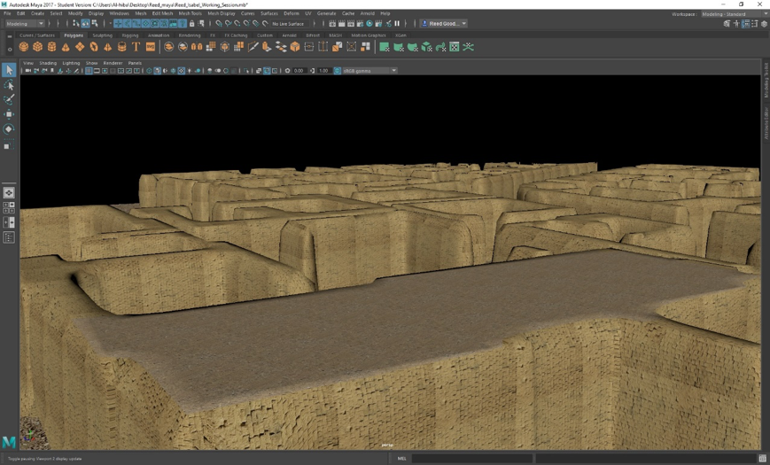
Figure 22: Textured Result of Tamped-Clay Roof

Figure 23: Window Creation through Face Selection, Extrusion and Texturing
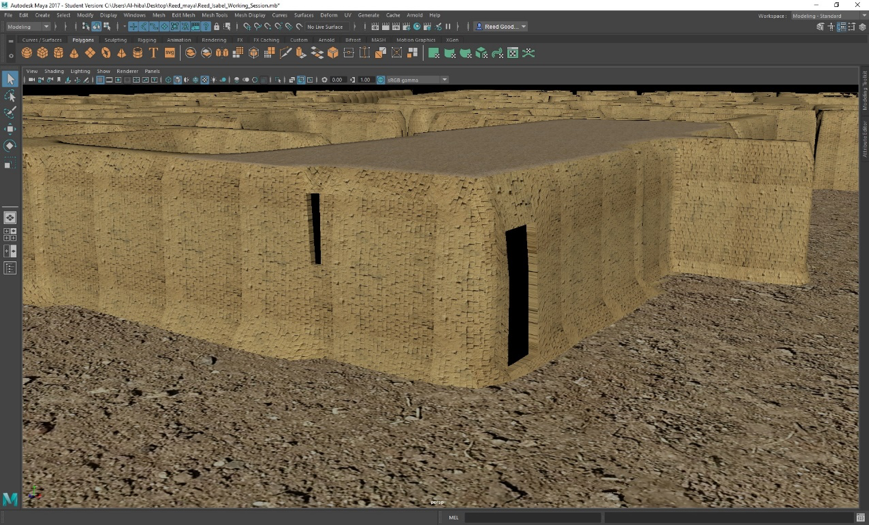
Figure 24: Door Creation through Face Selection, Extrusion and Texturing
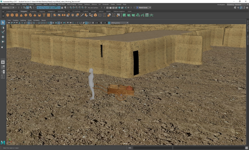
Figure 25: Female Individual with Wooden Cart and Ceramic Vessel
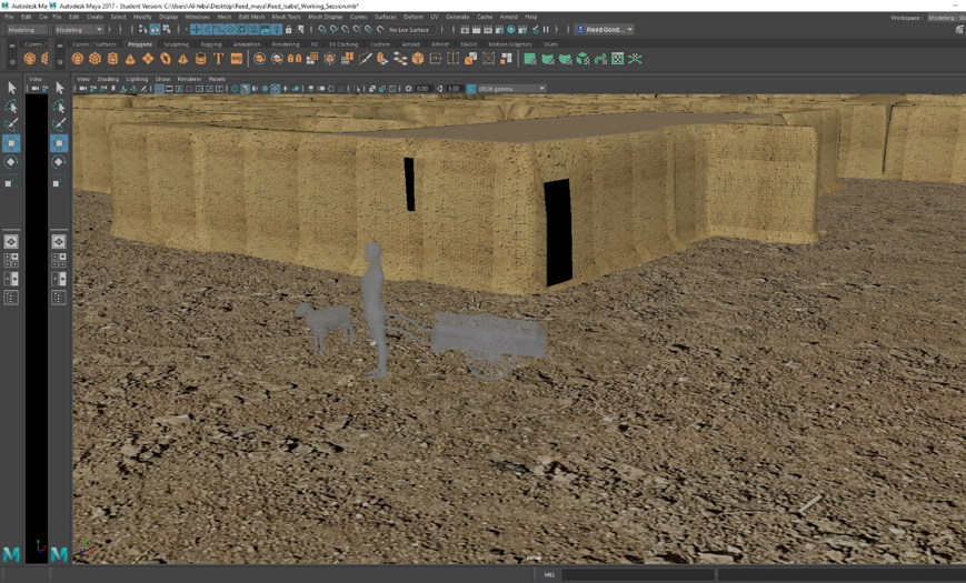
Figure 26: Sheep with Female Individual and Wheelbarrow
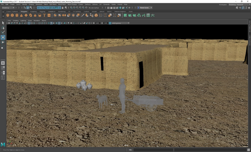
Figure 27: Additional Pottery Vessels with Sheep, Female Individual and Wheelbarrow

Figure 28: Textured Pottery Vessels with Realistic Paste Applied
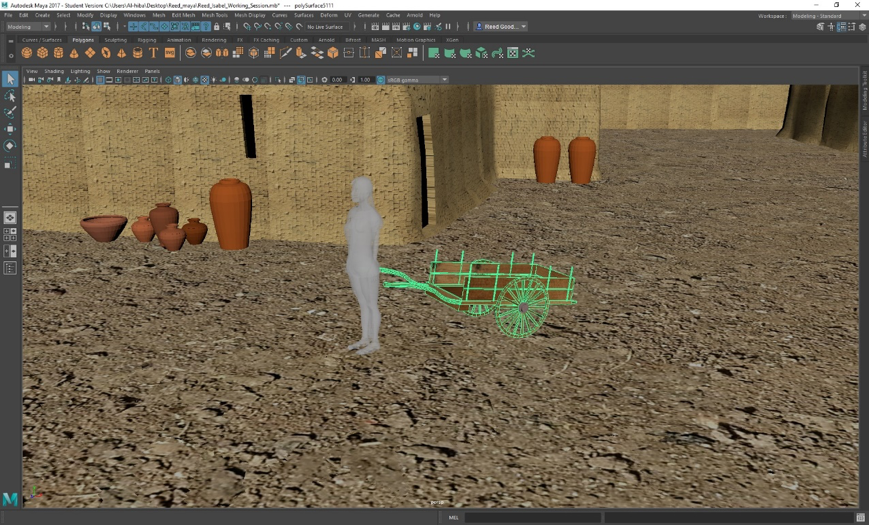
Figure 29: Modeled Wheelbarrow
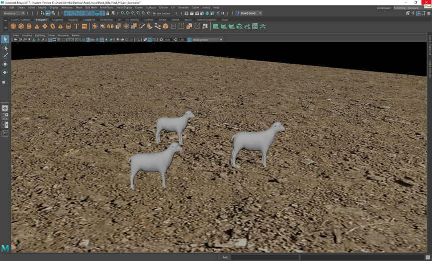
Figure 30: Reduplicated and Scaled Sheep
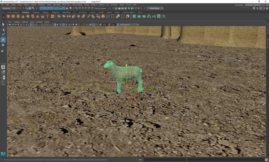
Figure 31: Textured Sheep
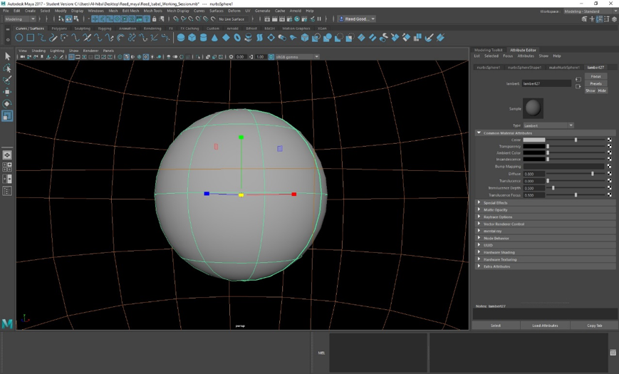
Figure 32: NURBS Sphere Encapsulating Entire Model (Inside Sky Colored Texture)

Figure 33: First Render with Mental Ray 3ds Max
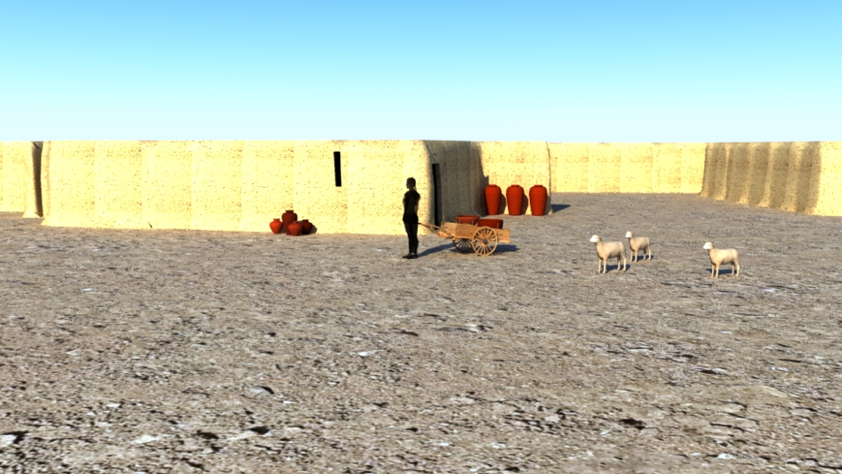
Figure 34: Second Render with Mental Ray 3ds Max
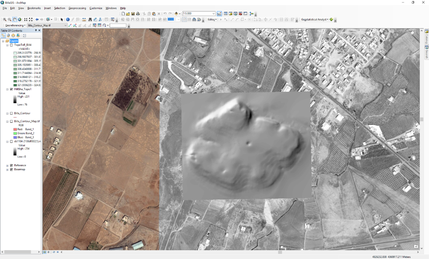
Figure 35: Digital Elevation Model of Tell Billa
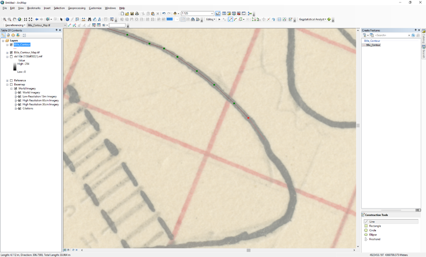
Figure 36: Contour Tracing in ArcGIS for Digital Elevation Model