IT TAKES A VILLAGE:
3D Models
Figures

Figure 1: Upper Delaware Valley as archaeologically defined, Delaware Water Gap National Recreation Area.

Figure 2: Geological Divisions of the Delaware River; Source: USGS

Figure 3: Pit types and fill in the Upper Delaware Valley, (Kraft 1975: 67)

Figure 4: Complete Map of Features at Shoemakers Ferry; (Barse 2006:4.11)

Figure 5: House Patterns and Features at Shoemakers Ferry; Source Barse 2006:4.76

Figure 6: House Pattern 1 at Shoemakers Ferry; Source: Barse 2006:4.77

Figure 7: House Pattern 2 at Shoemakers Ferry; Source: Barse 2006: 4.80

Figure 8: House Pattern 3a at Shoemakers Ferry; Source: Barse 2006:4.84

Figure 9: House Patter 3b at Shoemakers Ferry; Source Barse 2006: 4.83

Figure 10: House Pattern 4a Shoemakers Ferry; Source: Barse 2006: 4.86

Figure 11: House Pattern 4a Shoemakers Ferry; Source: Barse 2006: 4.86

Figure 12: 1m DEM

Figure 13: 1m DEM as hillshade

Figure 14: Landscape Material Blueprint

Figure 15: Landscape Material applied to DEM in Unreal Game Engine

Figure 16: Marking the Delaware River in Unreal

Figure 17: Landscape After Sculpting Facing North

Figure 18: Wigwam Free Image Plane

Figure 19: House Structure Scaled

Figure 20: Houses and Windbreak Posts in Unreal Game Engine

Figure 21: Storage Pit with Lambert Applied

Figure 22: Finished Storage Pit in MAYA
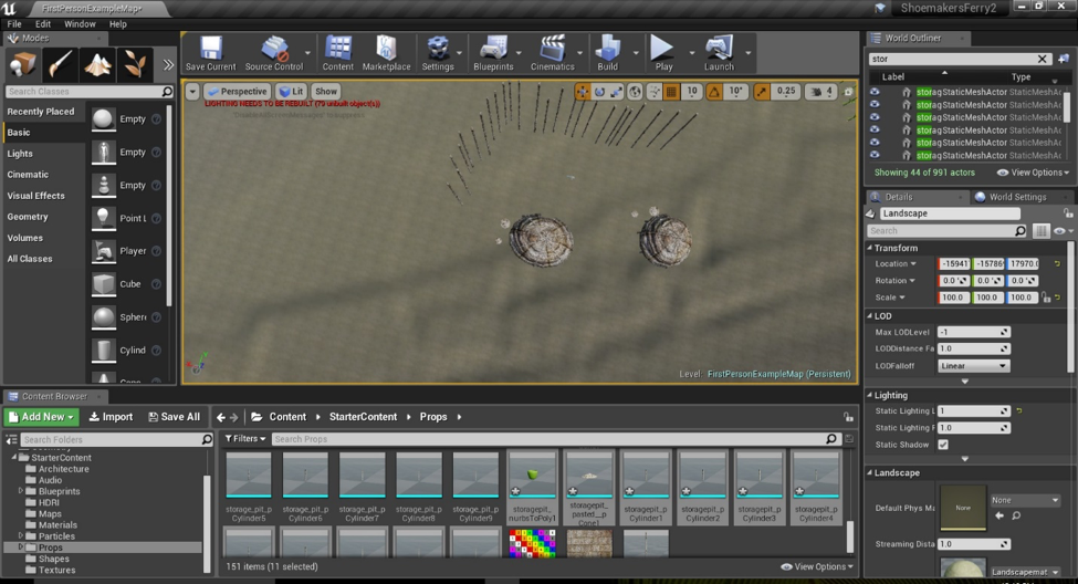
Figure 23: Storage Pits imported into Unreal Game Engine and arranged
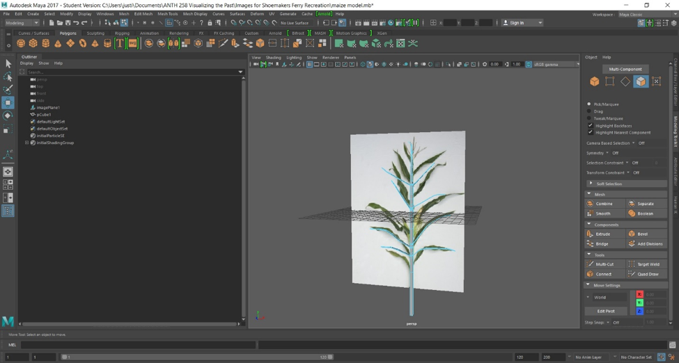
Figure 24: Modelling the maize plant
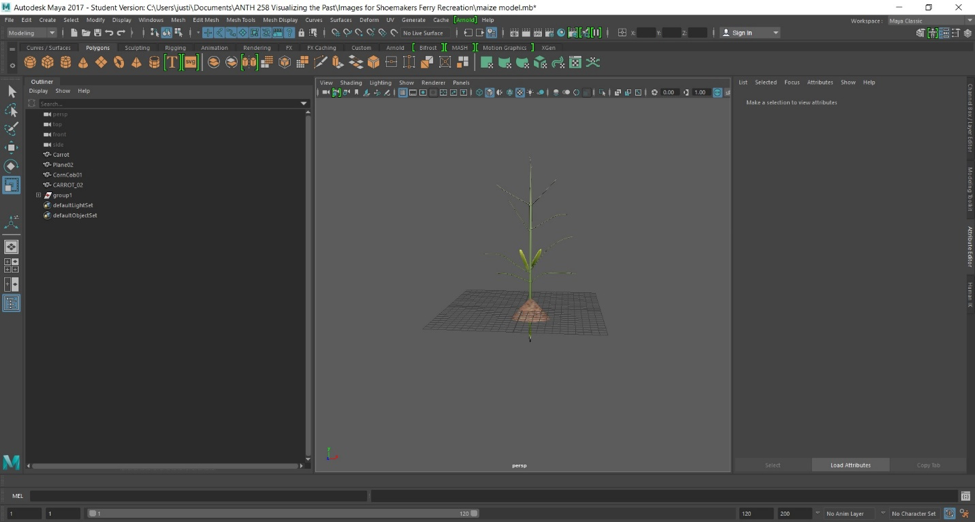
Figure 25: Completed single maize plant model
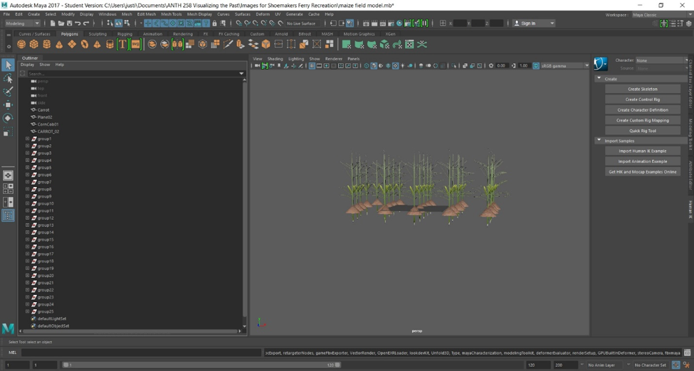
Figure 26: Modelled Maize field
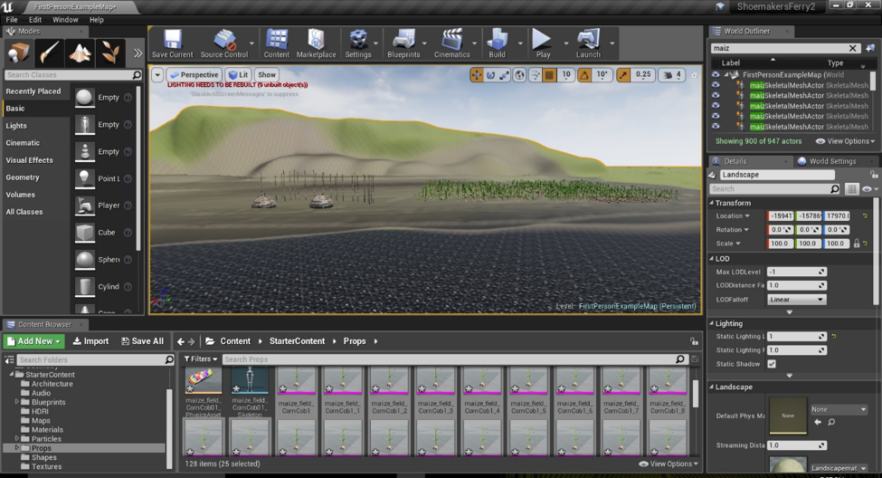
Figure 27: Maize plants in Unreal Game engine
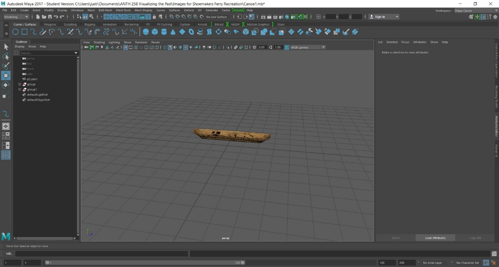
Figure 28: Canoe Model
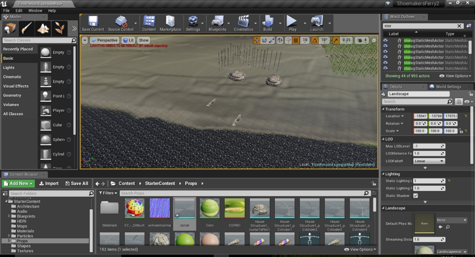
Figure 29: Canoe Models imported into Unreal Game Engine
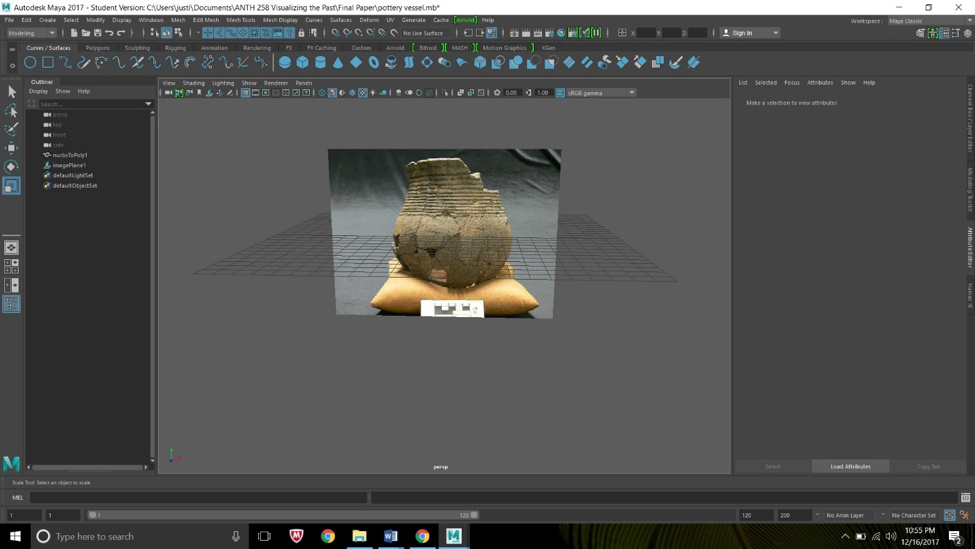
Figure 30: Owasco Corded Vessel Image plane
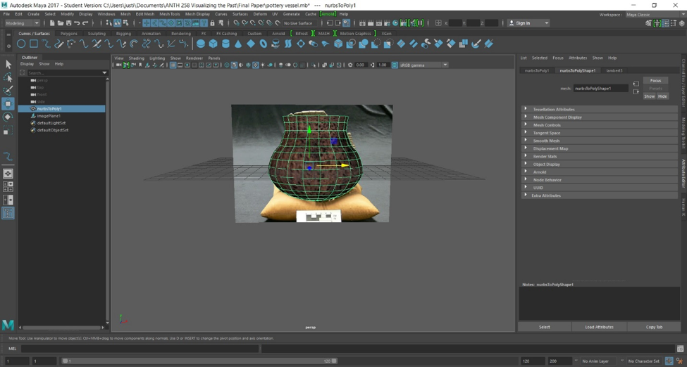
Figure 31: Owasco Corded Vessel Model Complete
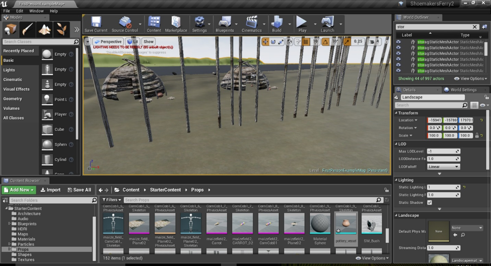
Figure 32: Owasco Corded Vessel Model in Unreal Game Engine
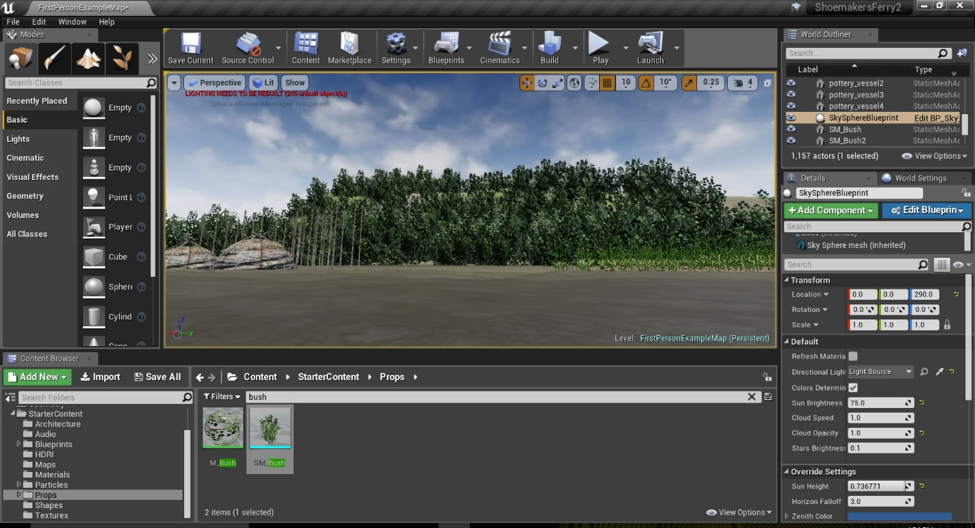
Figure 33:Foliage in Unreal Game Engine Level

Table 1: House Data From Shoemakers Ferry.

Table 2: Storage Pits at Shoemakers Ferry

Table 3: Field Size from Pits at Shoemakers Ferry