Canal and Causeway Navigation in the Bolivian Amazon
Figures
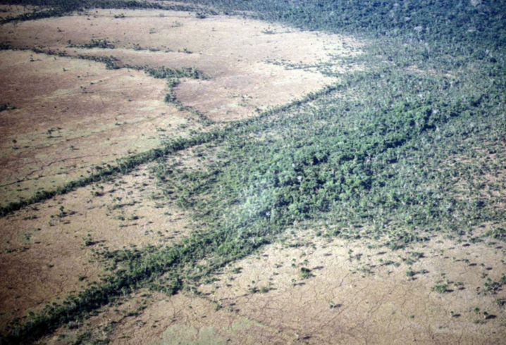
Figure 1: Aerial view of causeways and canals. The causeways appear as the dark lines of trees and foliage and the canals are alongside these causeways (Erickson 2006: Figure 8.6).
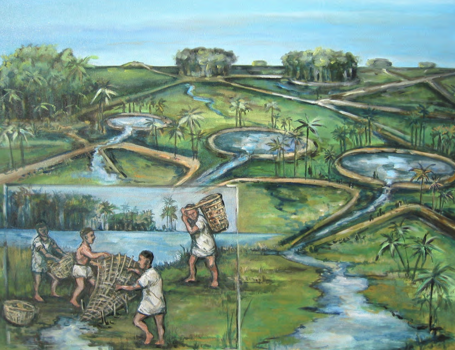
Figure 2: Causeway and canal network illustration (Artwork by Daniel Brinkmeier).
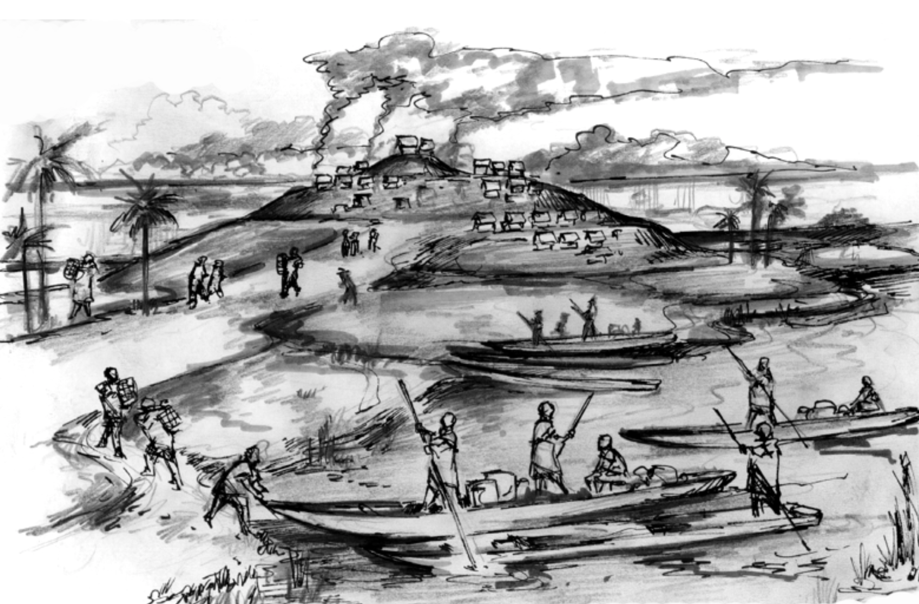
Figure 3: Settlement mounds and causeways (Artwork by Daniel Brinkmeier 2006).
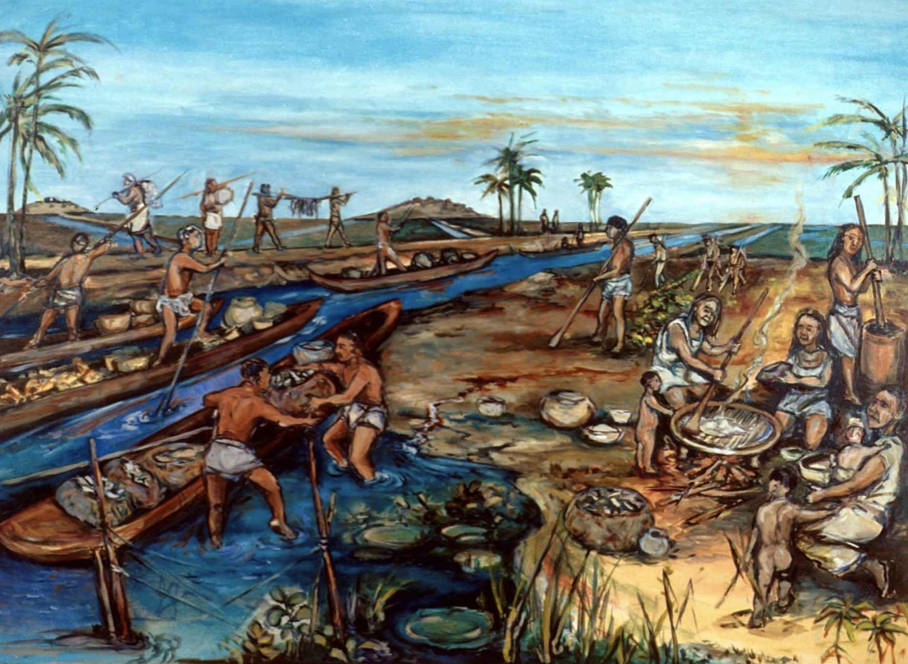
Figure 4: Reconstruction of use of major causeways-canals in Baures Region (Artwork by Daniel Brinkmeier).
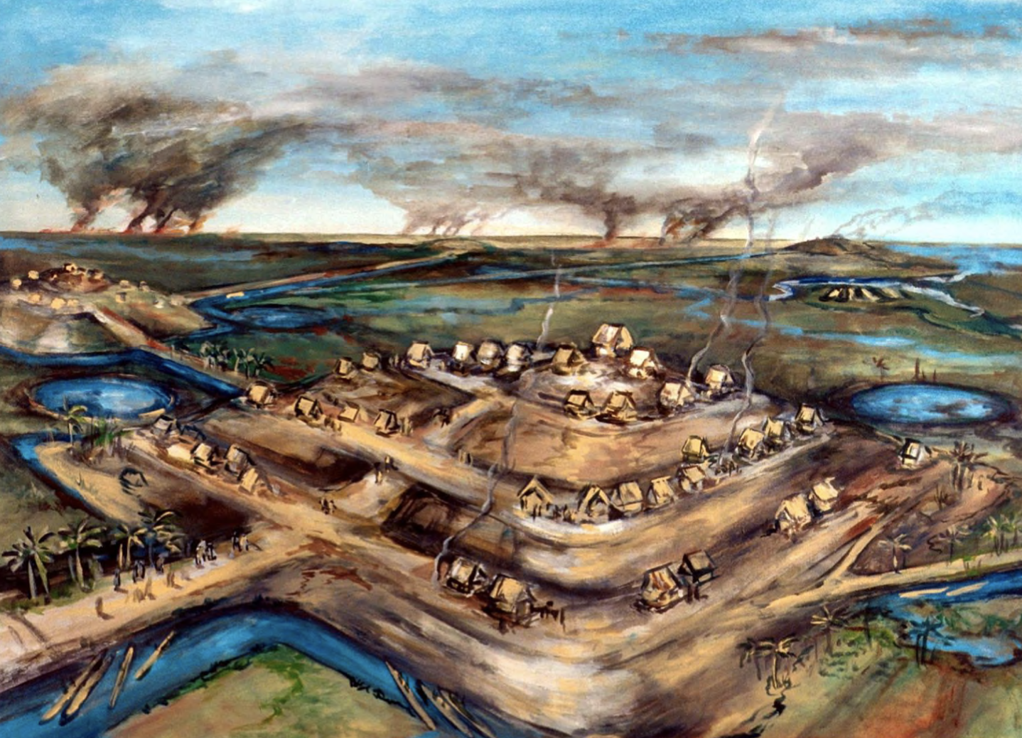
Figure 5: Settlement mound and savanna landscape (Artwork by Daniel Brinkmeier).

Figure 6: Teamwork moving a heavy log in Baures, Bolivia (Photo Courtesy Clark Erickson).
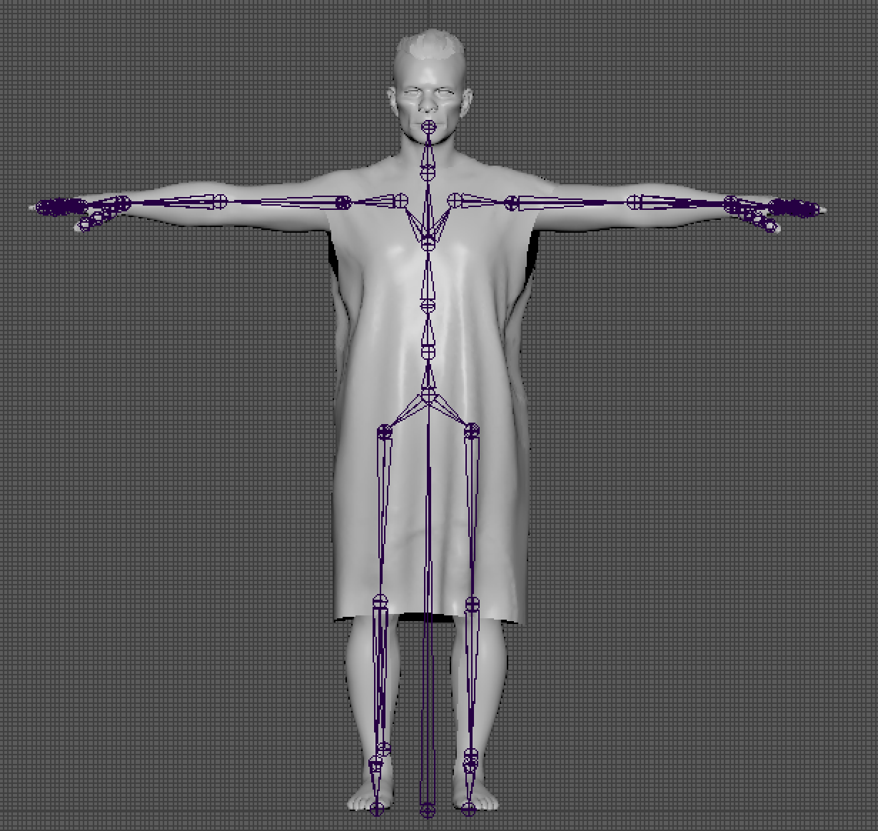
Figure 7: Rig of male model
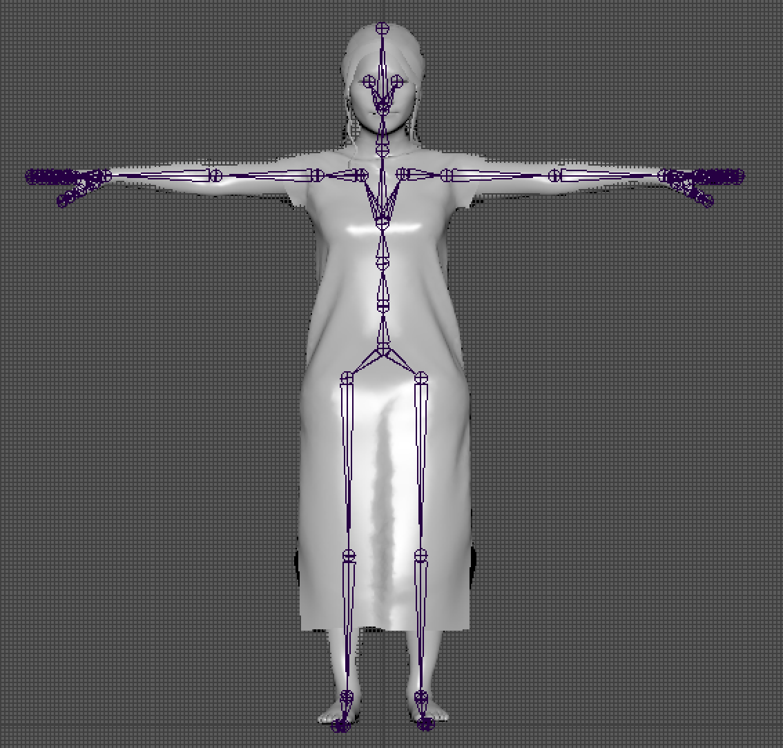
Figure 8: Rig of woman model.
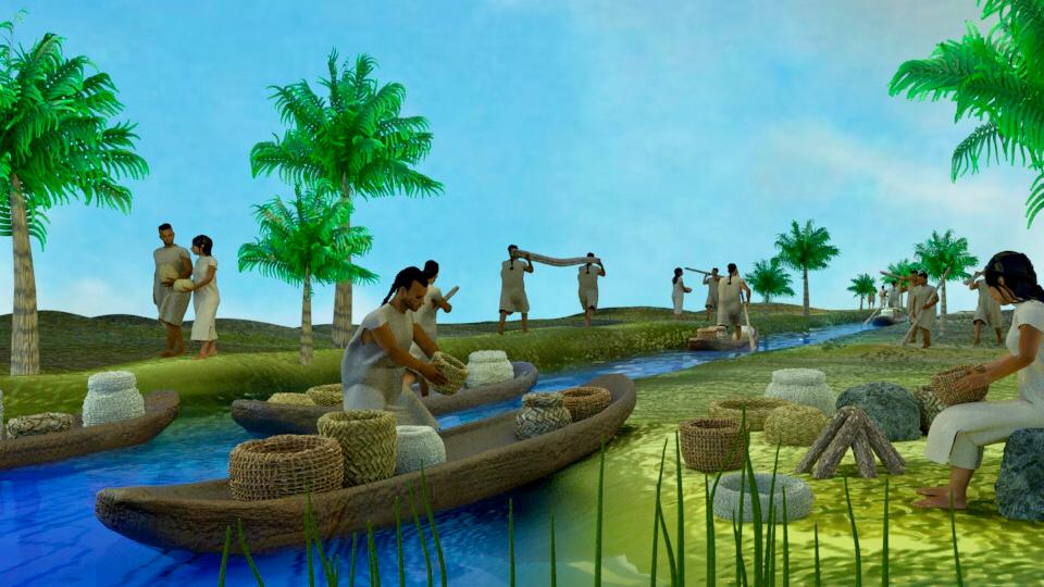
Figure 9: Final render of the populated landscape scene.
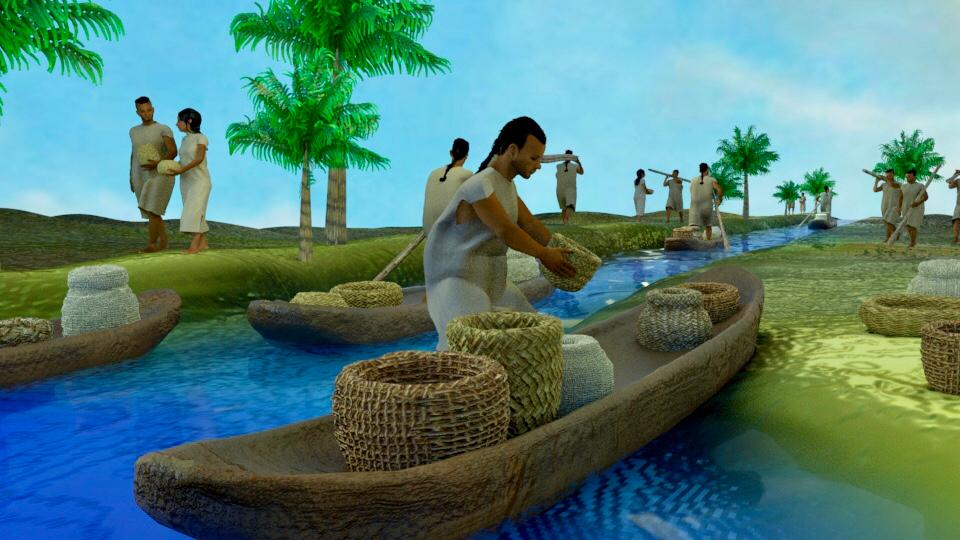
Figure 10: Man packing up his canoe with woven baskets and clay pottery
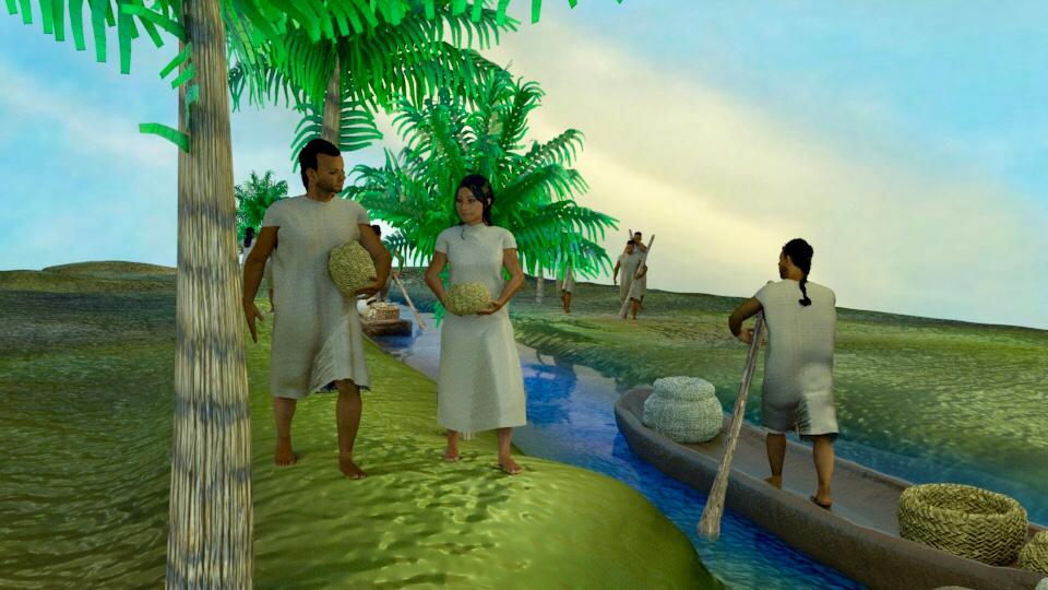
Figure 11: Transportation and communication on the causeways and canals.
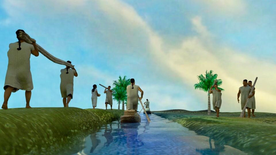
Figure 12: Teamwork in the final landscape scene.
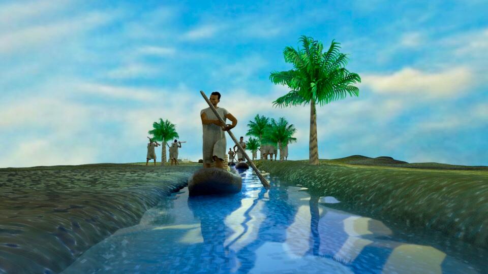
Figure 13: Navigation on the canal and pedestrian traffic on the causeway.