CAUSEWAY AND CANAL MODELLING IN THE BOLIVIAN AMAZON
Figures
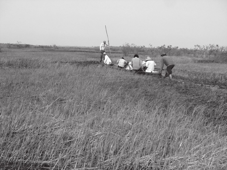
Figure 1: Modern canoe travel over inundated savanna (Erickson et al. 2009:215)
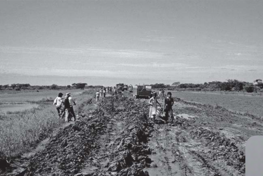
Figure 2: Modern appearance of earthen savanna surface (Erickson et al. 2009:240)
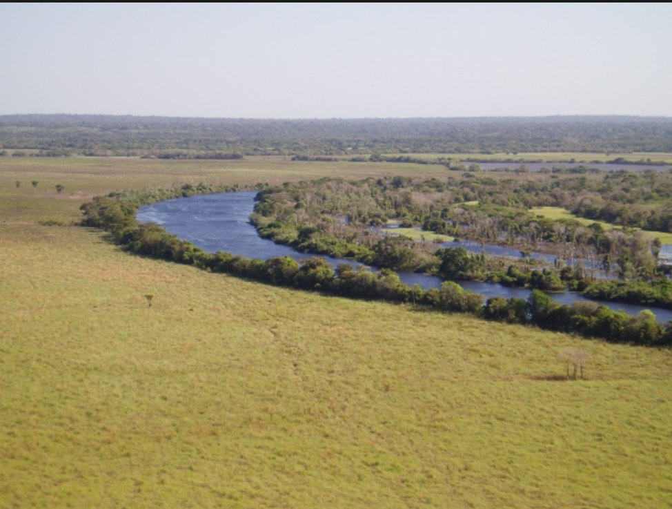
Figure 3: Coloring and vegetation of the savanna (Google Images, 2016)
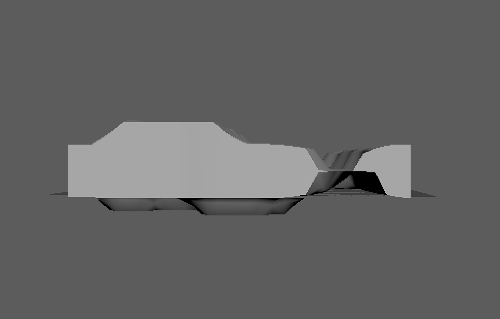
Figure 4: Maya model of canal
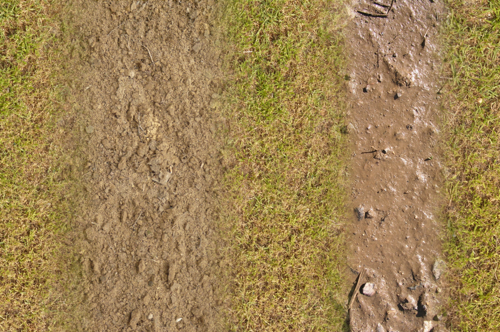
Figure 5: Texture of canal
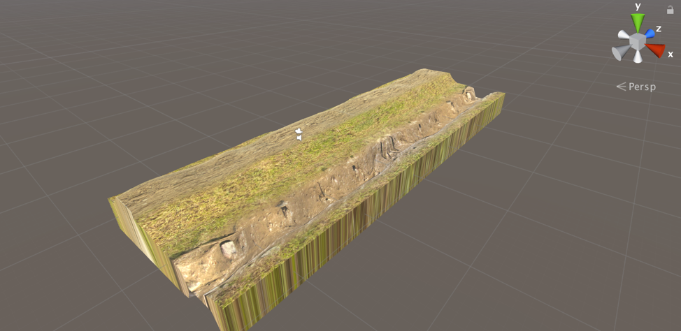
Figure 6: Canal model textured

Figure 7: Improved canal sloping
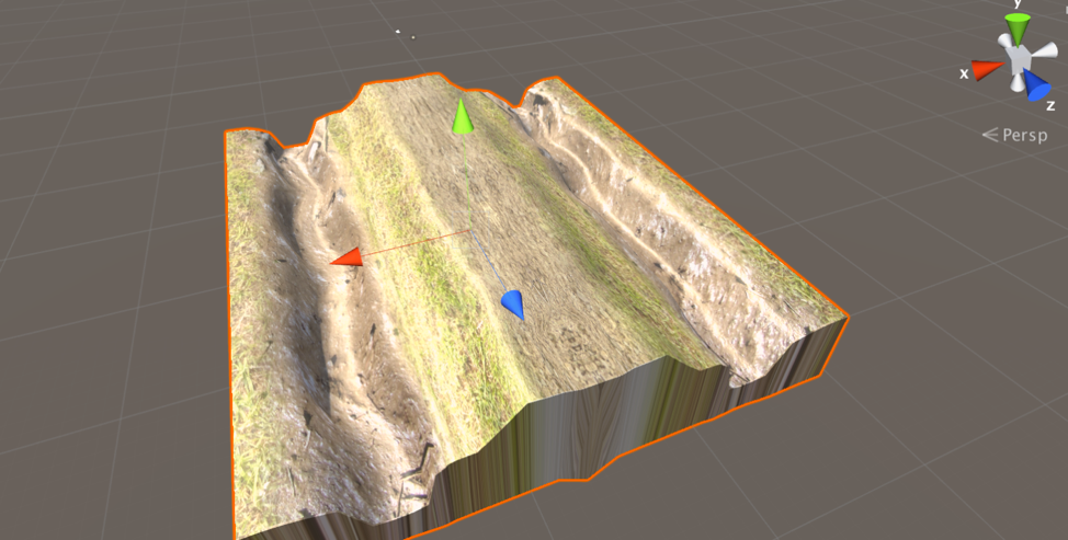
Figure 8: Double wide causeway with two canals
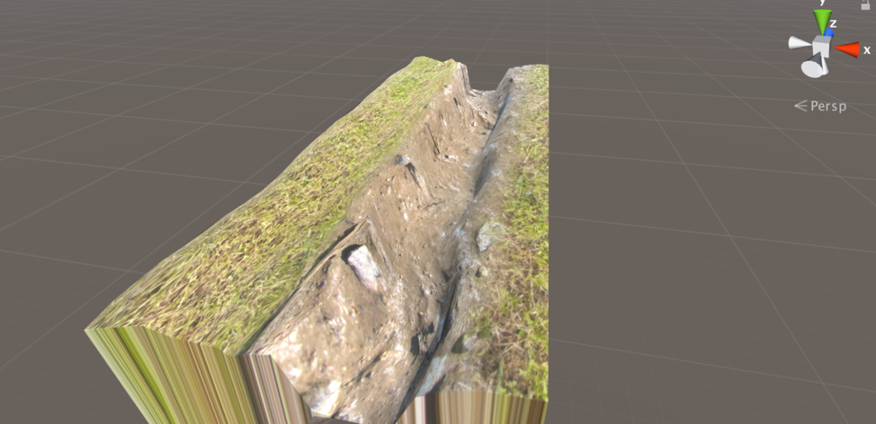
Figure 9: Canoe path
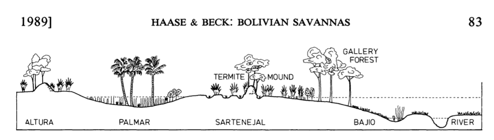
Figure 10: Different ecological zones of the Bolivian savanna (Hasse and Beck, 1989:83)
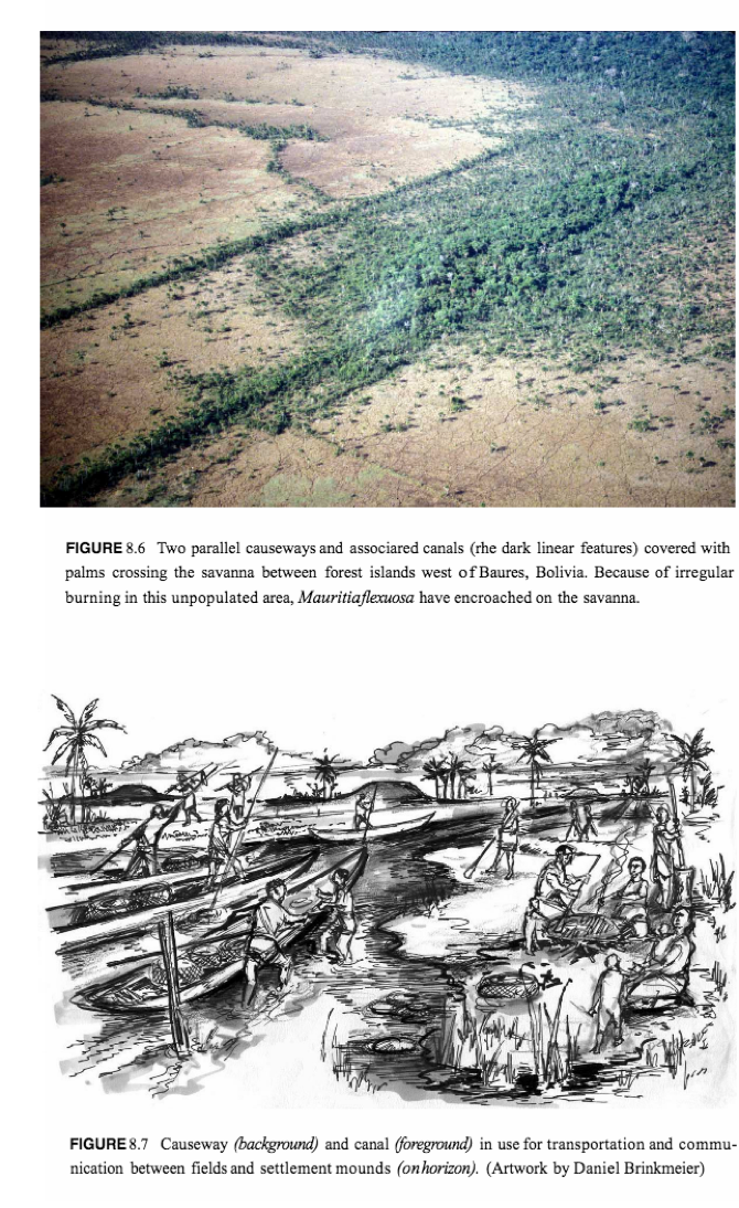
Figure 11: Sample vegetation surrounding a canal and causeway (Balee and Erickson, 2006:257)
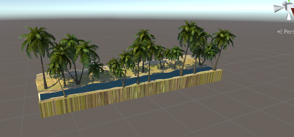
Figure 12: Vegetated model
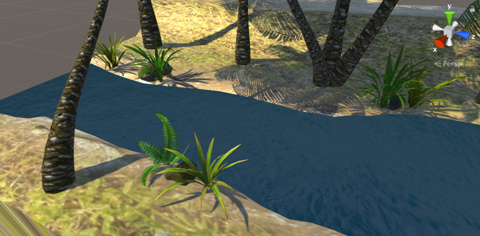
Figure 13: Vegetated canal
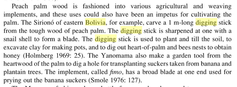
Figure 14: Description of Amazonian digging stick (Smith, 2015:184)
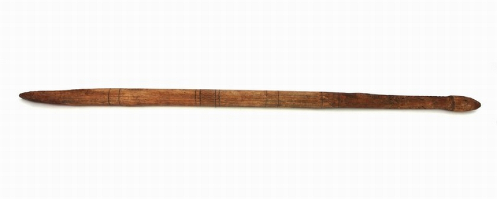
Figure 15: Australian aboriginal digging stick (Google Images, 2016)
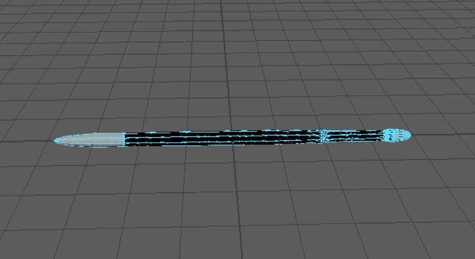
Figure 16: Maya model of digging stick
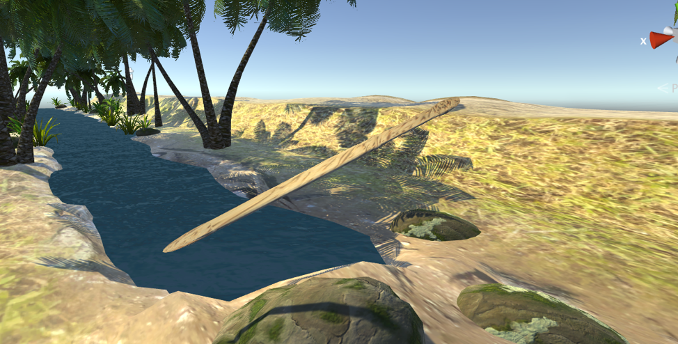
Figure 17: Digging stick in Unity
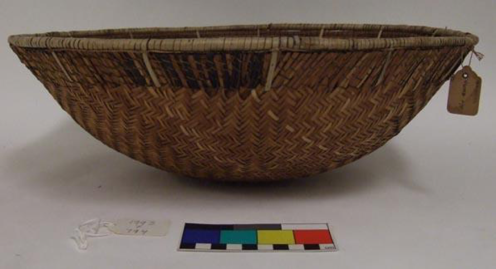
Figure 18: Amazonian woven basket (University of Pennsylvania Museums, 1993)
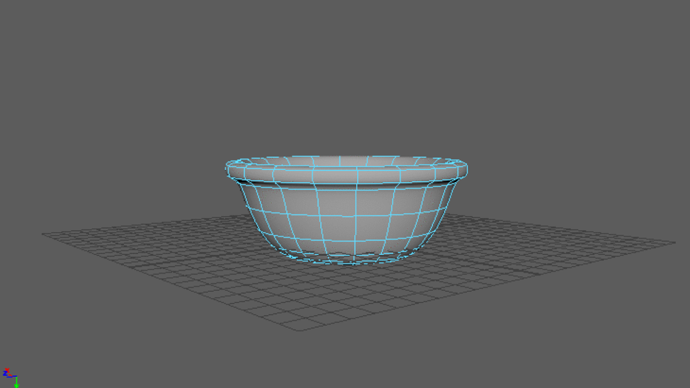
Figure 19: Basket in Maya
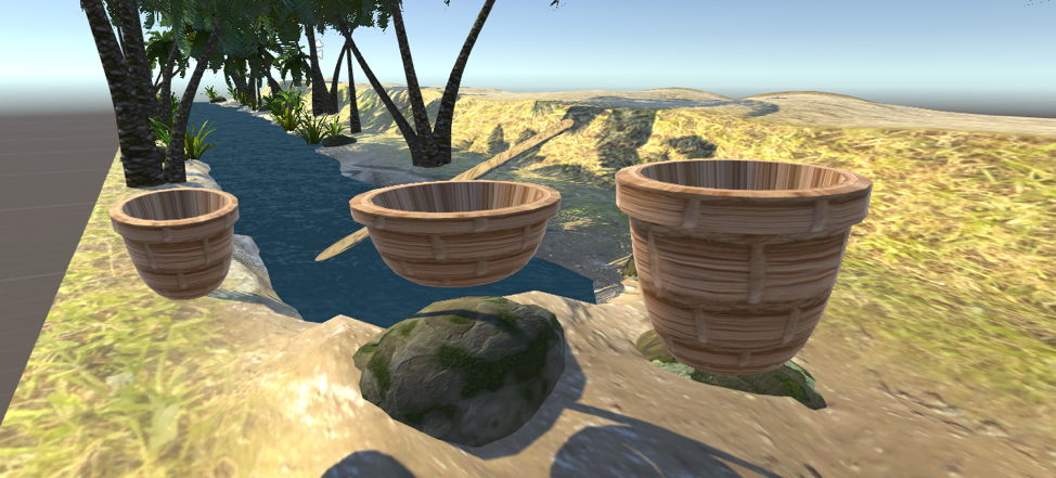
Figure 20: Different sized baskets textured in Unity
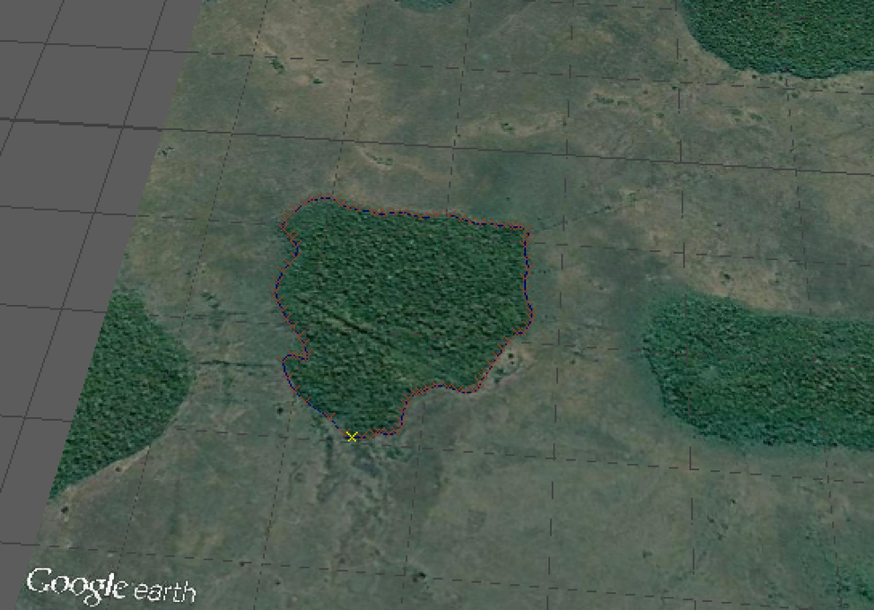
Figure 21: Aerial savanna photograph in Maya
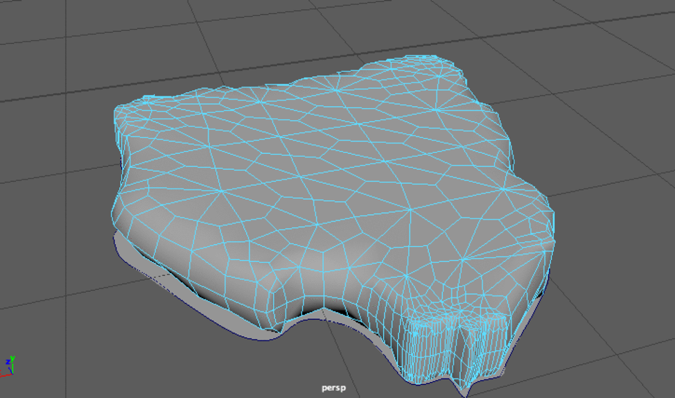
Figure 22: Resulting forest island polygon
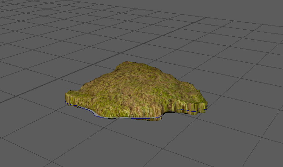
Figure 23: Textured forest island
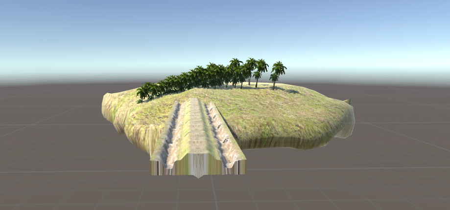
Figure 24: Textured forest island
Figure 25: First steps towards integration of assets